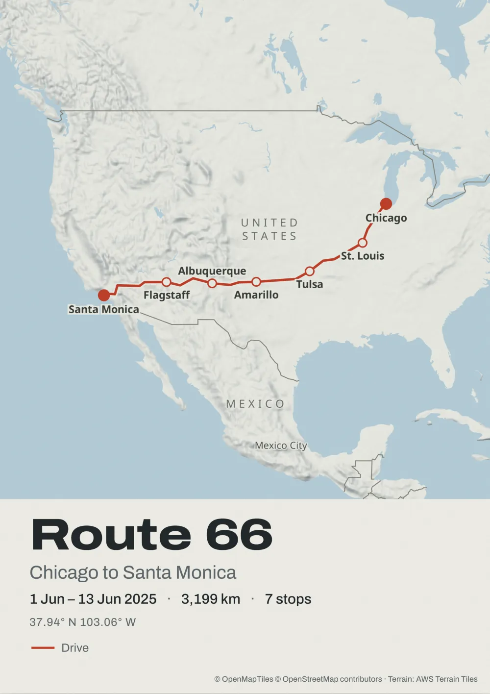
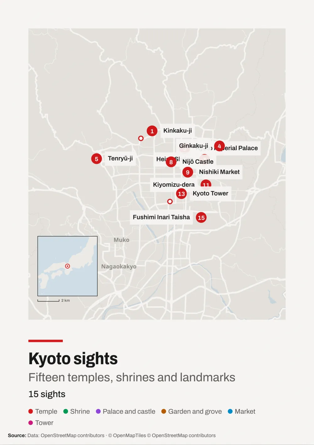
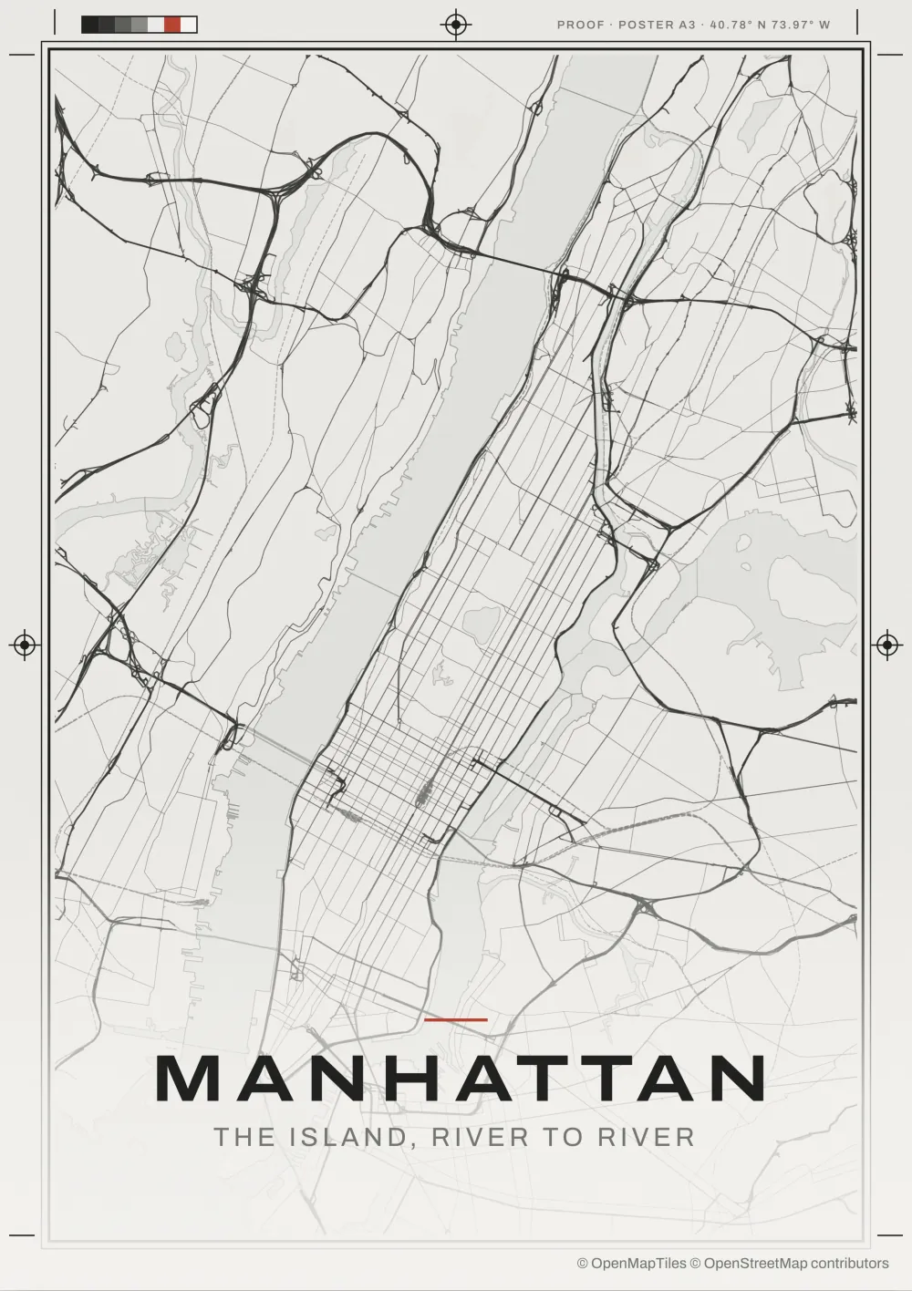
Free, with no account. The Yucatán road trip is an invented example through real places.
Your photos, pinned to the trip
Drop the photos from a trip on the editor. It reads where and when each one was taken, joins the places up along the roads, and pins each photo to its stop. The photos are read on your device and never uploaded. Making a map from photos has each step.
Drop
JPEG or HEIC, straight from your camera roll. Where and when each was taken comes from the file.
Placed
Photos taken together become one stop, named from the map, and the legs between follow the roads.
Pinned
Each stop shows its photo as a print on a thread. Drag a print anywhere, or hide them all.
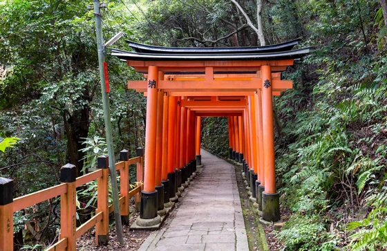
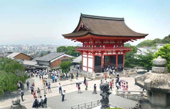
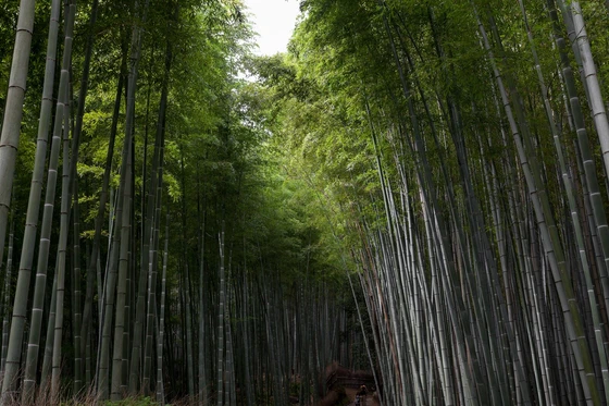
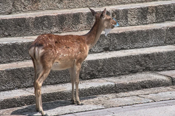
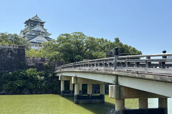
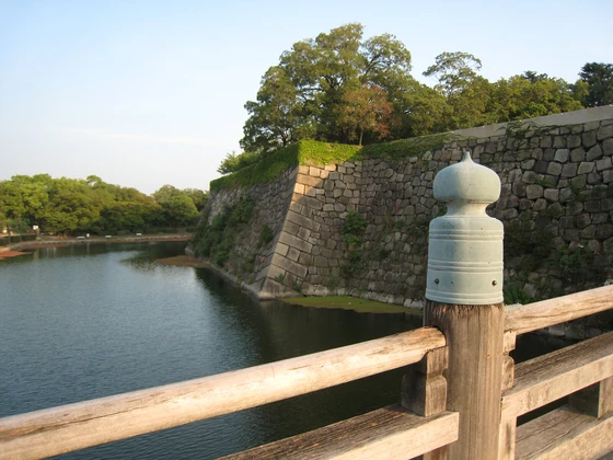
Three days in Kansai is an invented example, made from six CC0 photos.
Six ways to move
Choose a move and the Map plays as a clip, in the style’s own colours. A train, car, boat or plane rides each leg, flat or modelled in 3D. Here the Yucatán trip moves six ways, in six styles.
RevealDraws the route in. Stops arrive as it reaches them.Old map
OrbitA slow, tilted turn around the whole trip.Nautical course
FollowRides along with the vehicle, then pulls back.Night ink
GlideTilted behind the vehicle, looking down the route.Relief
DriftA slow, level pan across the sheet.City proof
Zoom outFrom the first stop out to the whole trip.Wire desk
One map, every format
When you switch formats, the map is laid out again for the new shape, so nothing gets cropped. Social formats export at their exact pixel sizes, print sheets at 300 dpi once the Map is unlocked, and the same Map plays as a clip.
Poster A3Print · 297 × 420 mm
Poster 70 × 50Print · 300 DPI
PostSocial · 1080 × 1350
SquareSocial · 1080 × 1080
StorySocial · 1080 × 1920
VideoVideo · 1920 × 1080
ReelVideo · 1080 × 1920
Transparent clipVideo · 1920 × 1080
Poster A3Print · 297 × 420 mm
Poster 70 × 50Print · 300 DPI
PostSocial · 1080 × 1350
SquareSocial · 1080 × 1080
StorySocial · 1080 × 1920
VideoVideo · 1920 × 1080
ReelVideo · 1080 × 1920
Transparent clipVideo · 1920 × 1080
Poster A3Print · 297 × 420 mm
Poster 70 × 50Print · 300 DPI
PostSocial · 1080 × 1350
SquareSocial · 1080 × 1080
StorySocial · 1080 × 1920
VideoVideo · 1920 × 1080
ReelVideo · 1080 × 1920
Transparent clipVideo · 1920 × 1080
Poster A3Print · 297 × 420 mm
Poster 70 × 50Print · 300 DPI
PostSocial · 1080 × 1350
SquareSocial · 1080 × 1080
StorySocial · 1080 × 1920
VideoVideo · 1920 × 1080
ReelVideo · 1080 × 1920
Transparent clipVideo · 1920 × 1080
Poster A3Print · 297 × 420 mm
Poster 70 × 50Print · 300 DPI
PostSocial · 1080 × 1350
SquareSocial · 1080 × 1080
StorySocial · 1080 × 1920
VideoVideo · 1920 × 1080
ReelVideo · 1080 × 1920
Transparent clipVideo · 1920 × 1080
Clips export as MP4. The Transparent clip comes as WebM with its PNG frames, and is shown here over a checkerboard.
A trip, a set of places or a city
Pick what you’re mapping, and the first version is ready before you change a setting.
A journey
Drop in the photos from a trip or GPX files from a tracker, several days at once, or search the places you stopped. The editor finds the stops and how you travelled.
Recorded in the editor as it is today. Drop your photos and the trip is drawn for you, or build it stop by stop from search.
Drop your photos
The photos land on the editor, and the trip is drawn with each one pinned to its stop. A print moves wherever you drag it.
Or search the places
Search for each place you went. The map flies to the first, and every leg after it follows the roads.
For a keepsake
Adjust the stops, the caption and the style until it looks right, then take the print sheet to any print shop. A road trip poster shows both sheet sizes.
A3 at 300 dpi · 70 × 50 cm
For posts and edits
The same Map gives you a post, a square and a story at their native sizes, and video clips for your own edits. Change the style and every format follows.
1080 × 1350 · 1080 × 1080 · 1080 × 1920
Every Maptelier style
Each of the 22 styles has its own rules for what’s shown, how routes and stops are marked, the frame and the type. Open any of them on the Yucatán trip.
FilesRead in your browser. Photos, GPX files and spreadsheets are never uploaded. A Map keeps a small copy of one photo per stop.
MapsSaved in this browser, with no account. Sign in with your email to open them on other devices.
HomeHide any stop or line you’d rather not show, and it’s left off the map.
SentRequests for map tiles of the area you’re viewing, and any place searches you make.
The Privacy notice lists every service a Map reaches and how long each record is kept.
Questions
What is Maptelier?
Maptelier is a map maker that runs in your browser. Add a trip, a set of places or a city, pick one of 22 Maptelier styles, and export the map as a poster, a post or a clip. Making and exporting is free. Unlocking a Map costs US$12.
What can I import?
Photos from your camera roll, JPEG or HEIC, with their locations. Photos from one trip become a journey, and photos taken over months become a set of places. For a recorded journey, GPX, FIT or TCX files, as many days as you like. For places, a CSV, TSV, GeoJSON or KML file with coordinates. Without files, search for places, and the route follows the roads.
Do I need an account?
No. Maps are saved in this browser, so clearing the browser’s data deletes them. To keep them, save a project file, or sign in with your email and open them in any browser. There’s no password, and you can delete the account whenever you like.
Can I print it?
Yes. An unlocked Map exports an A3 sheet and a 70 × 50 cm sheet at 300 dpi, which any print shop can print.
Can I make a video?
Yes. Choose one of six motions, such as drawing the route in or slowly pulling back, and export a Video, a Reel or a Transparent clip. Clips export as MP4, and a transparent clip as WebM with its PNG frames. 1080p at 30 fps is free. 4K and 60 fps need an unlocked Map.
What does it cost?
Making and exporting a map is free. Free exports carry a small Made with Maptelier mark. Unlocking a Map costs US$12, once, with no subscription. It removes the mark, and gives you print sheets at full resolution and clips in 4K at 60 fps. Your first Map is 15% off (US$10.20) when you join the mailing list or come through a friend's link. You can ask for a full refund within 14 days. Pricing
Can I use my map for work?
Yes. Exports are yours to use in personal and commercial work, such as prints, client videos and publications. Keep the OpenStreetMap credit that comes with every export. Terms of use
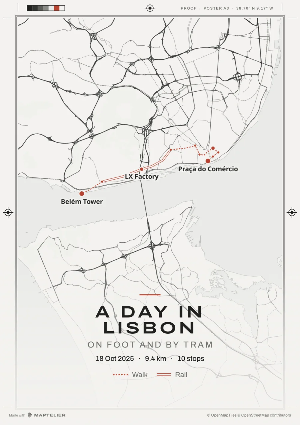 Poster A3Print · 297 × 420 mm
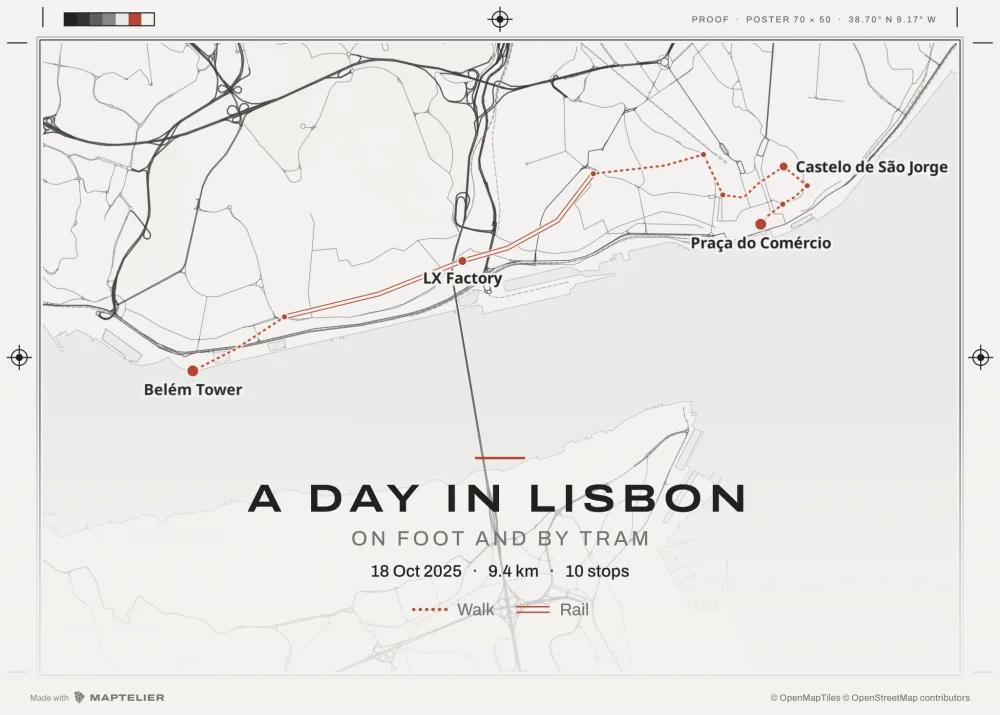 Poster 70 × 50Print · 300 DPI
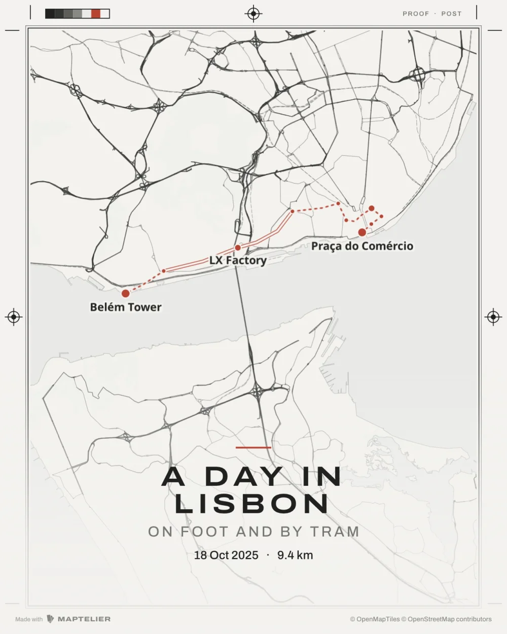 PostSocial · 1080 × 1350
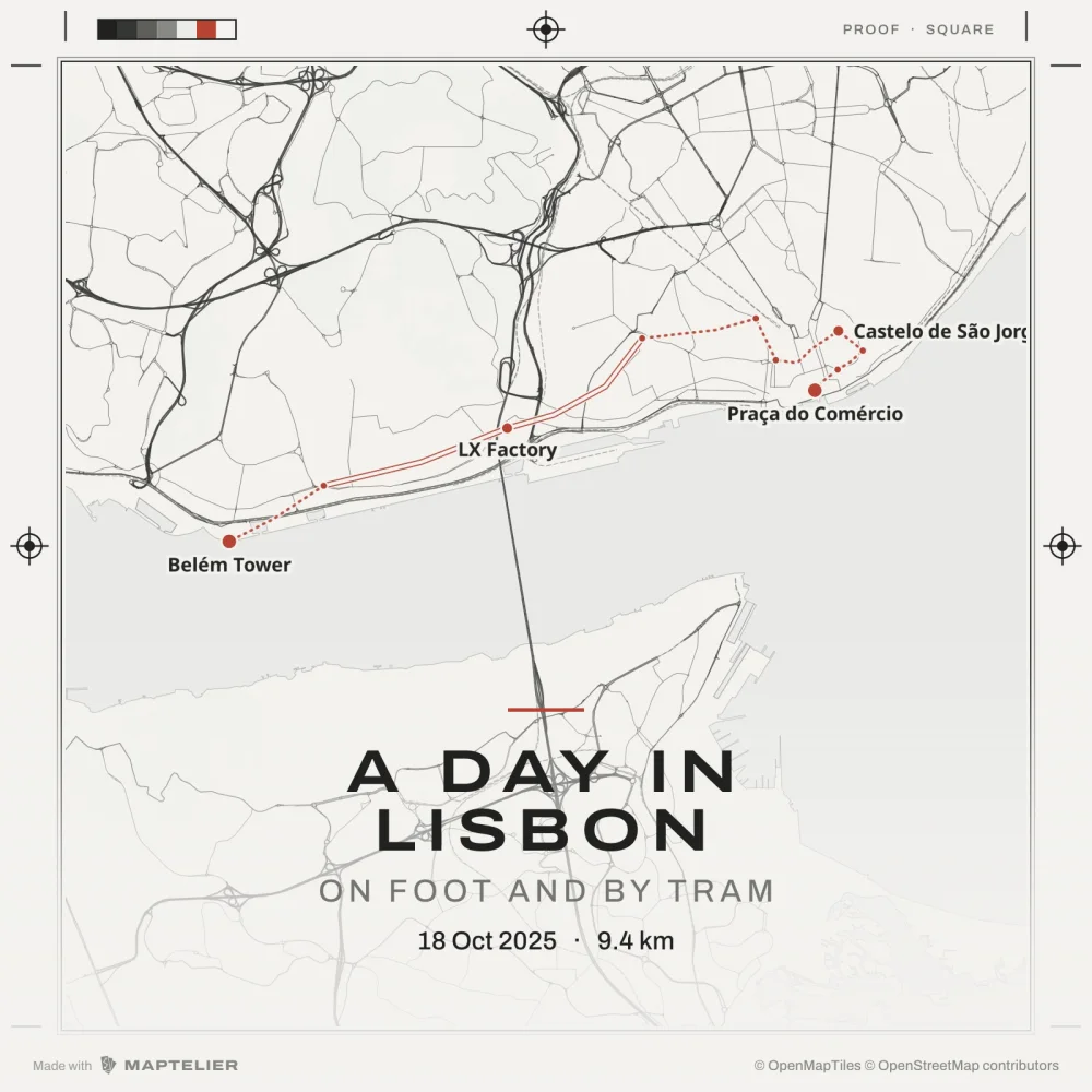 SquareSocial · 1080 × 1080
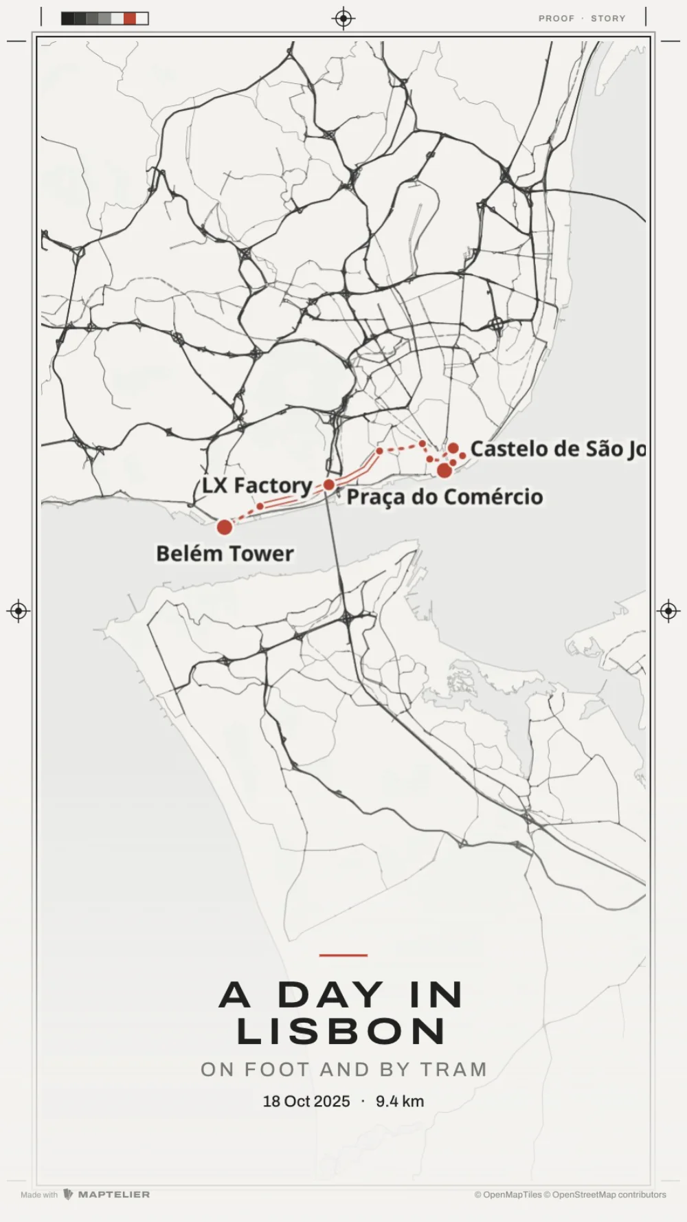 StorySocial · 1080 × 1920
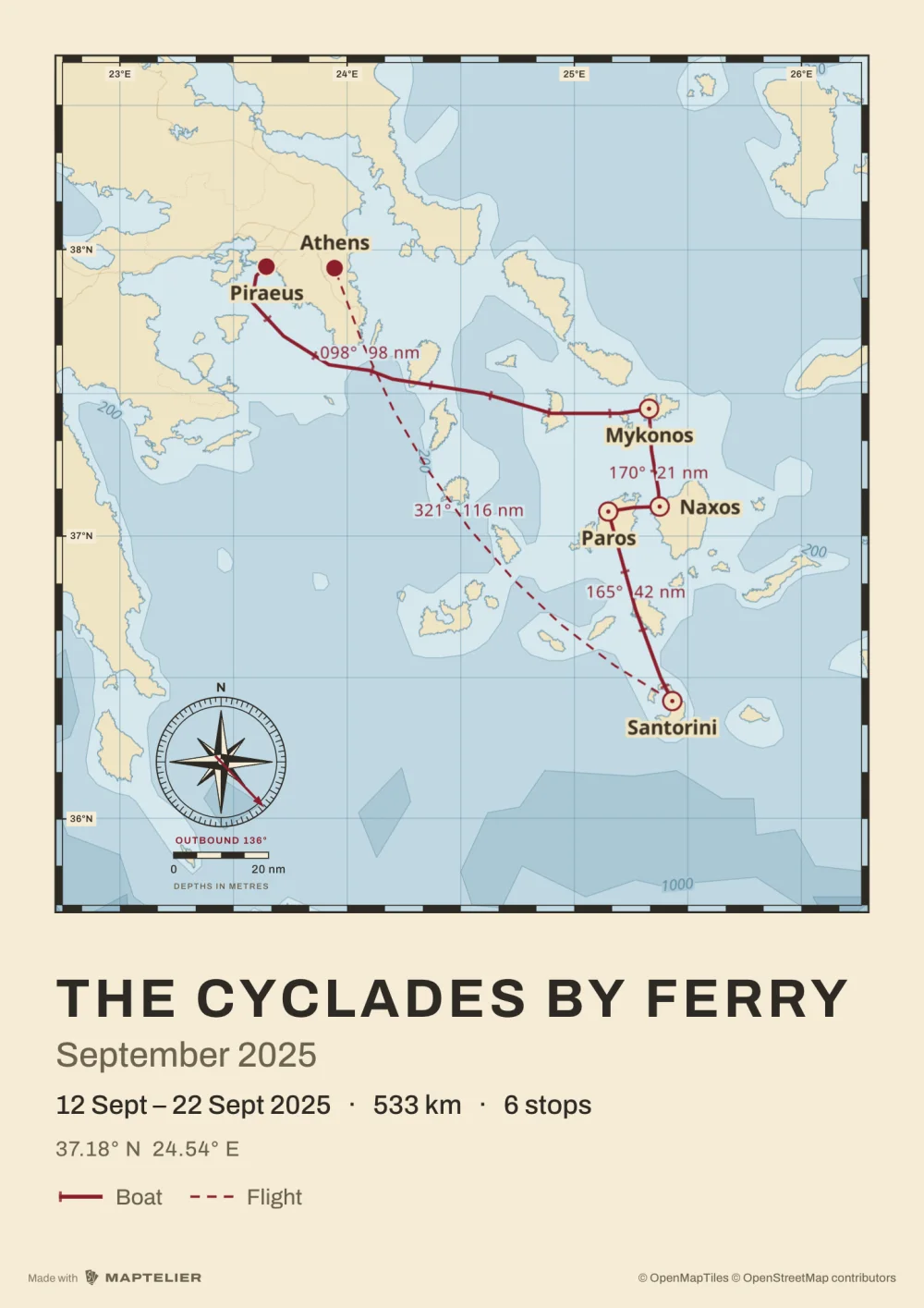 Poster A3Print · 297 × 420 mm
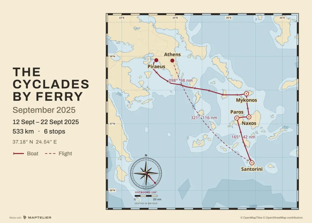 Poster 70 × 50Print · 300 DPI
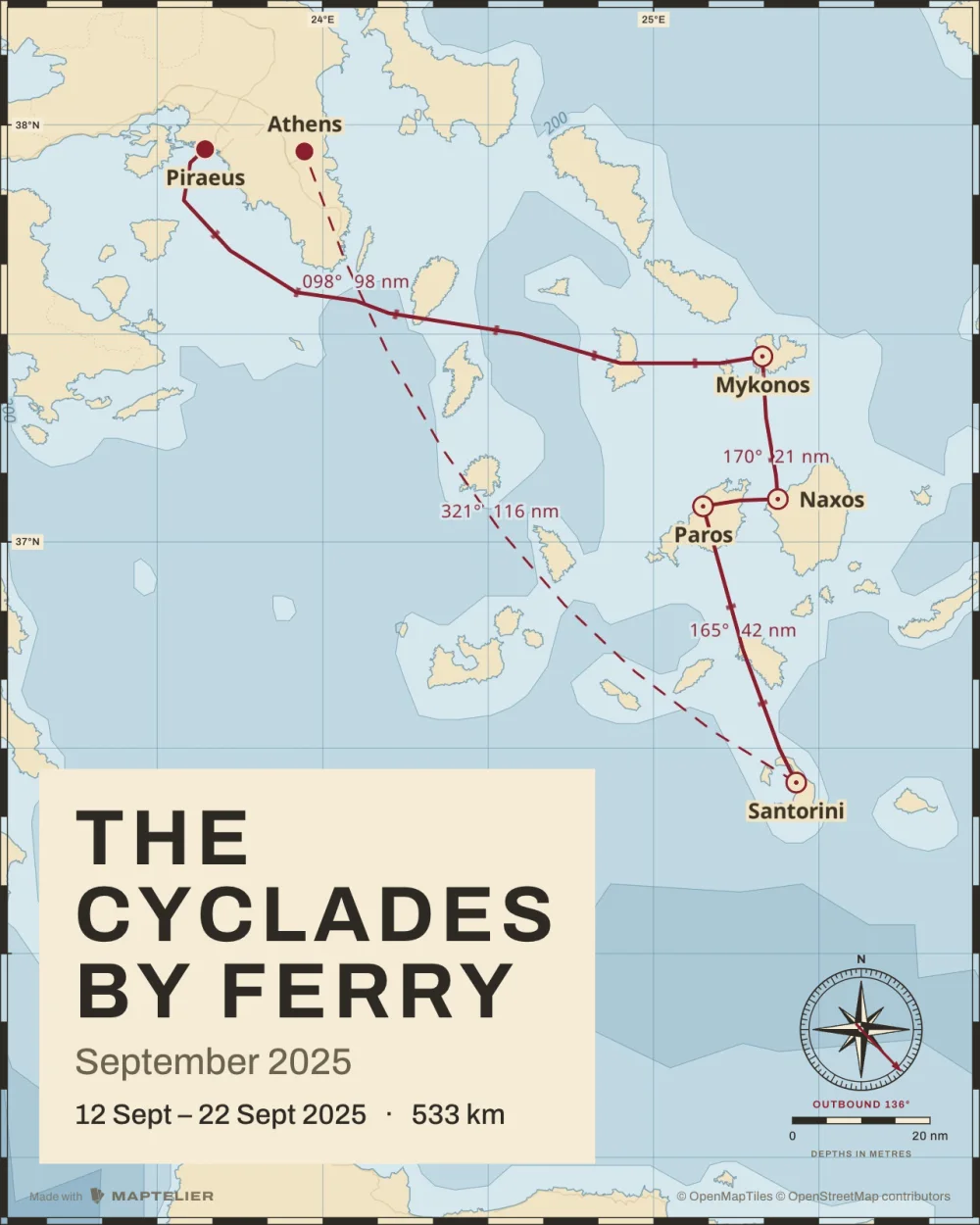 PostSocial · 1080 × 1350
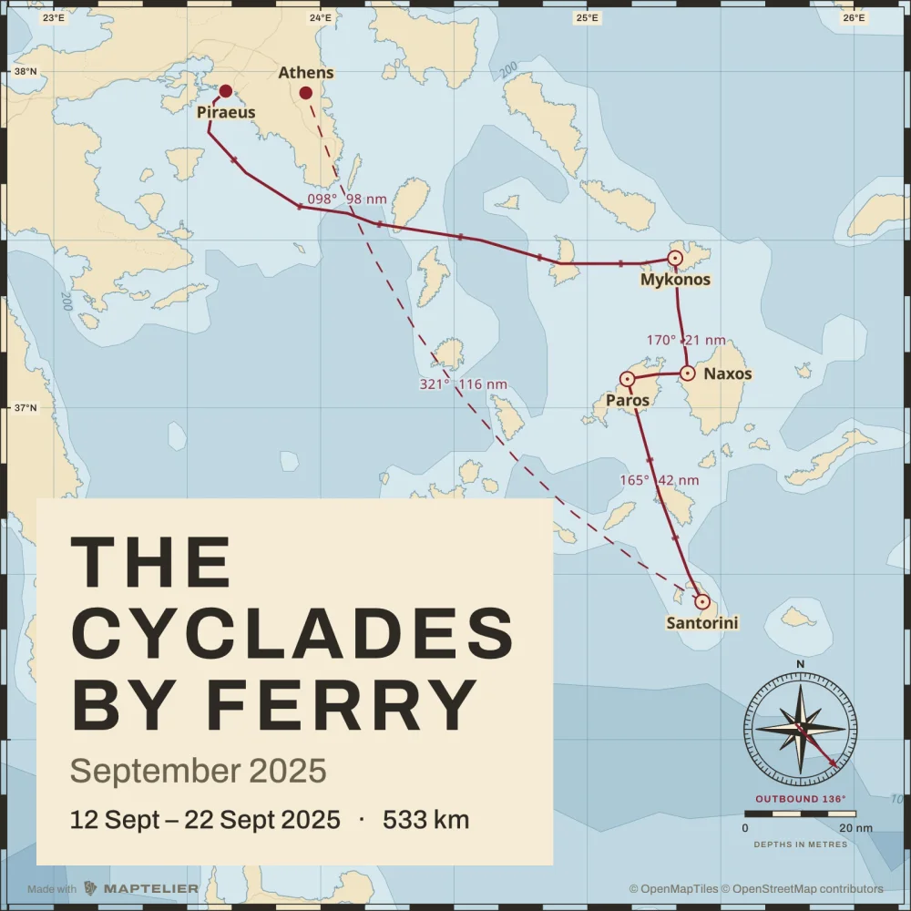 SquareSocial · 1080 × 1080
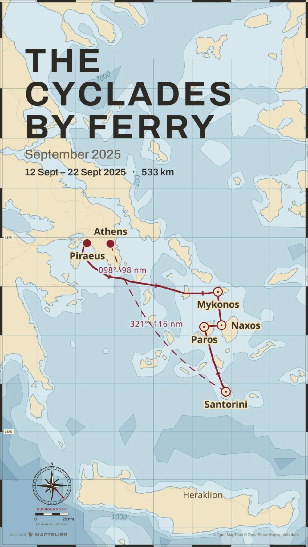 StorySocial · 1080 × 1920
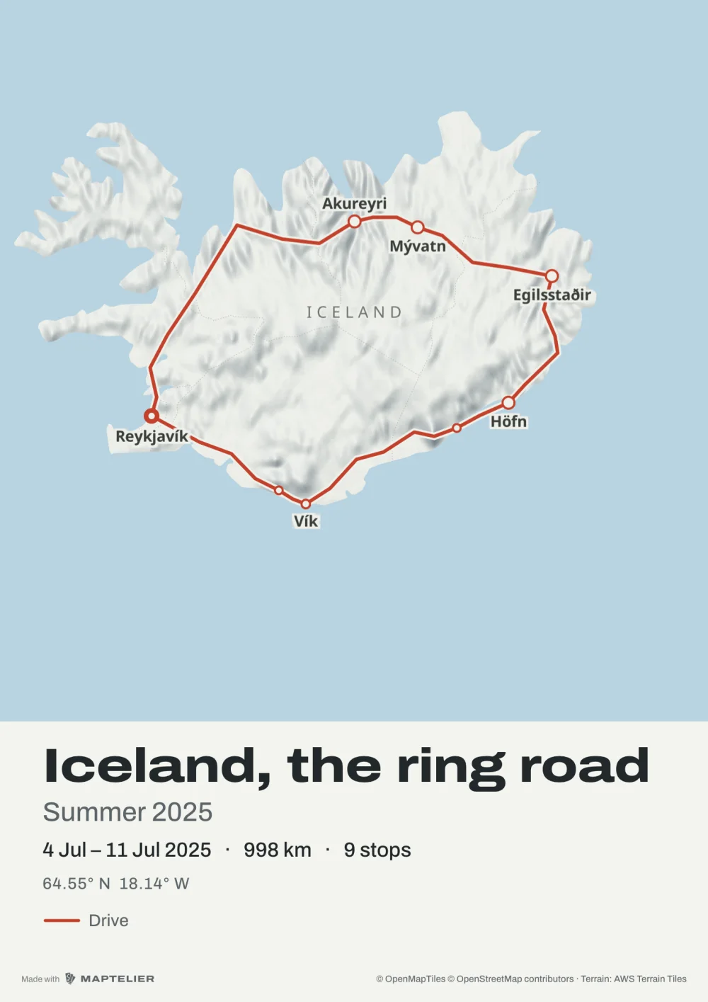 Poster A3Print · 297 × 420 mm
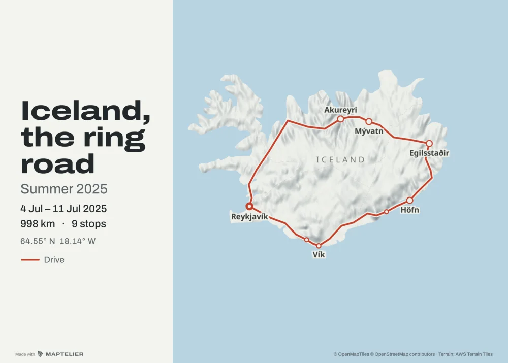 Poster 70 × 50Print · 300 DPI
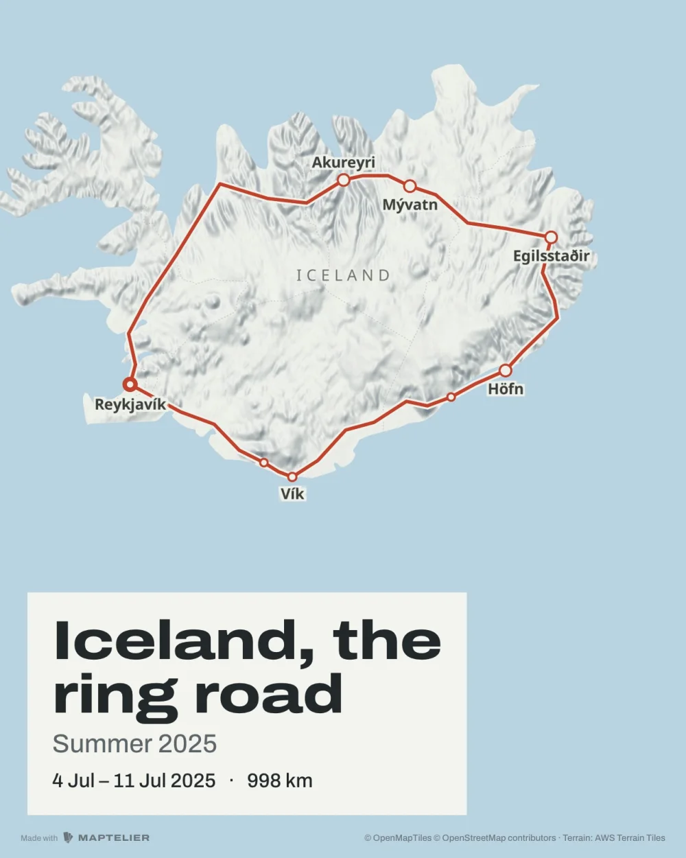 PostSocial · 1080 × 1350
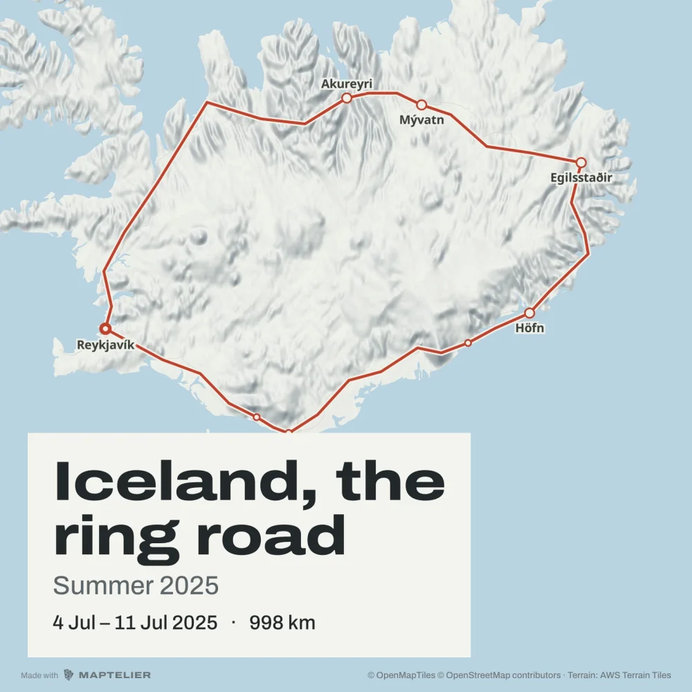 SquareSocial · 1080 × 1080
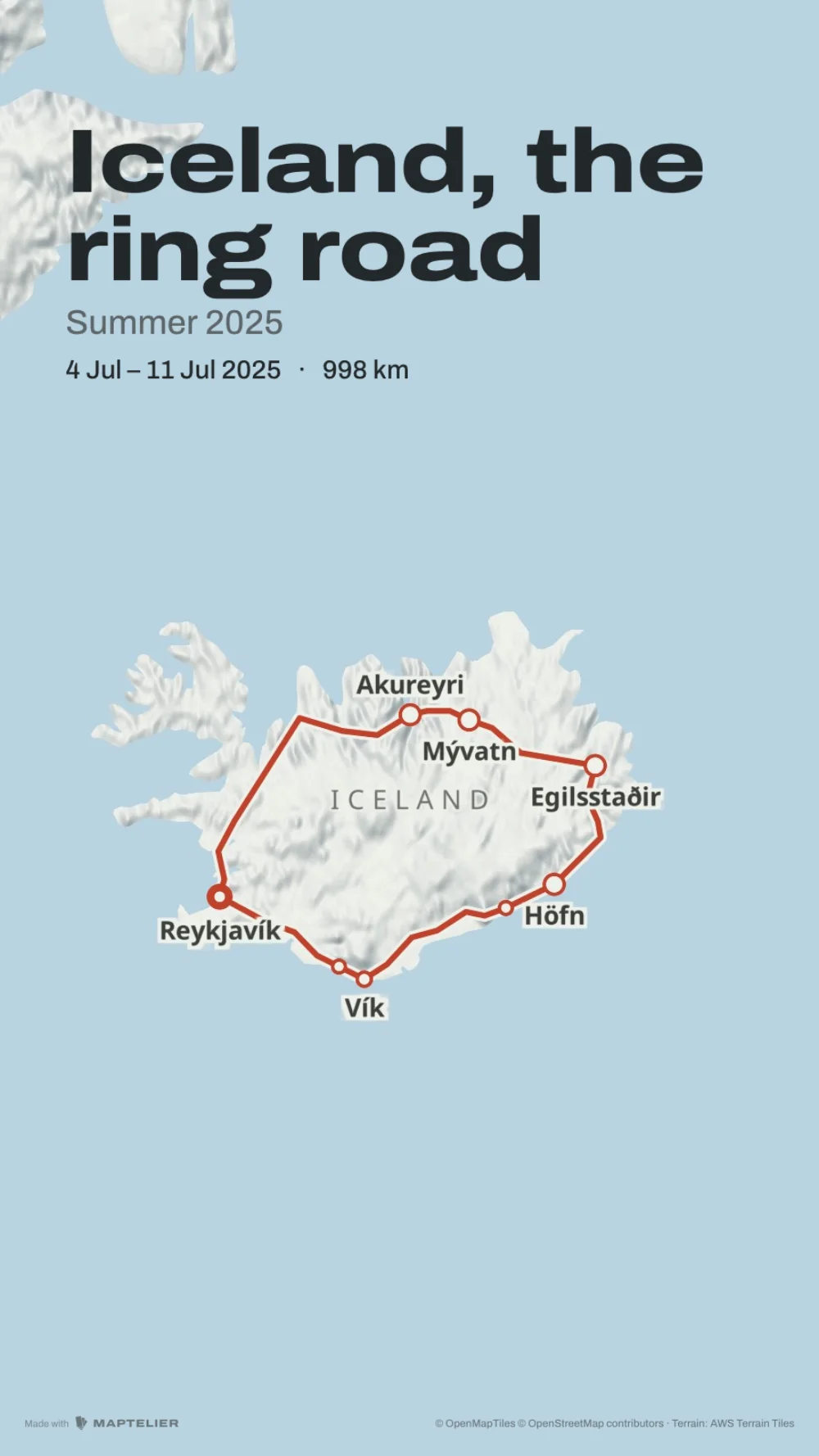 StorySocial · 1080 × 1920
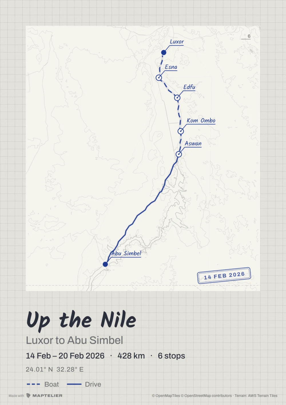 Poster A3Print · 297 × 420 mm
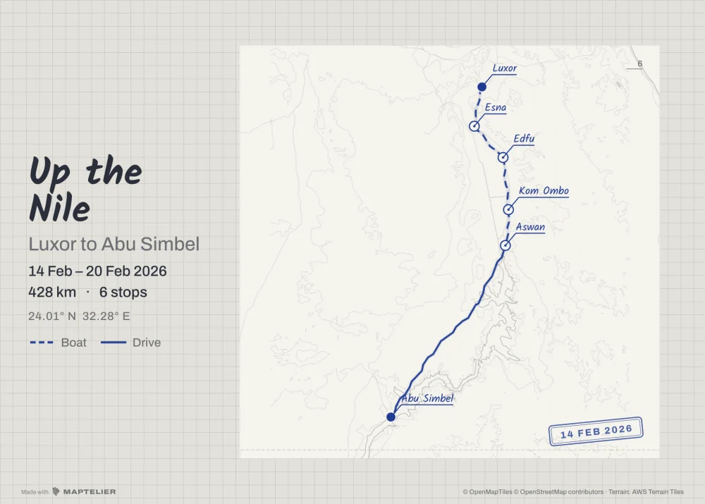 Poster 70 × 50Print · 300 DPI
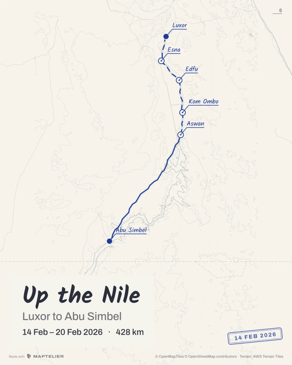 PostSocial · 1080 × 1350
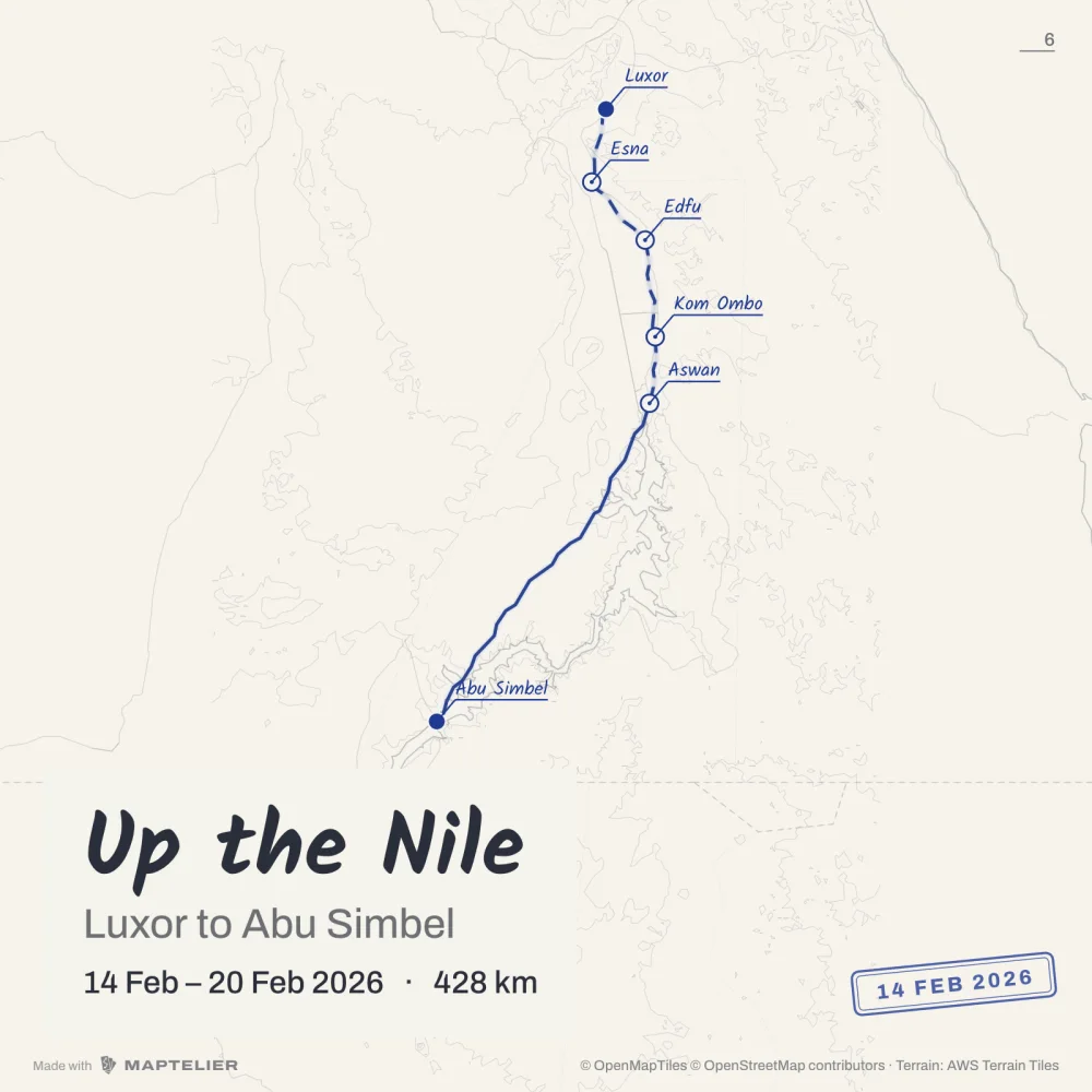 SquareSocial · 1080 × 1080
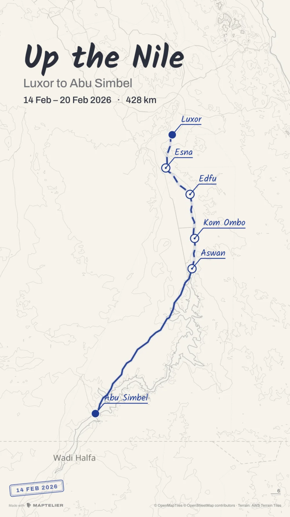 StorySocial · 1080 × 1920
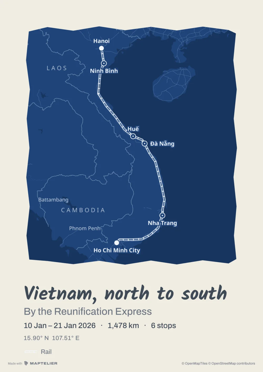 Poster A3Print · 297 × 420 mm
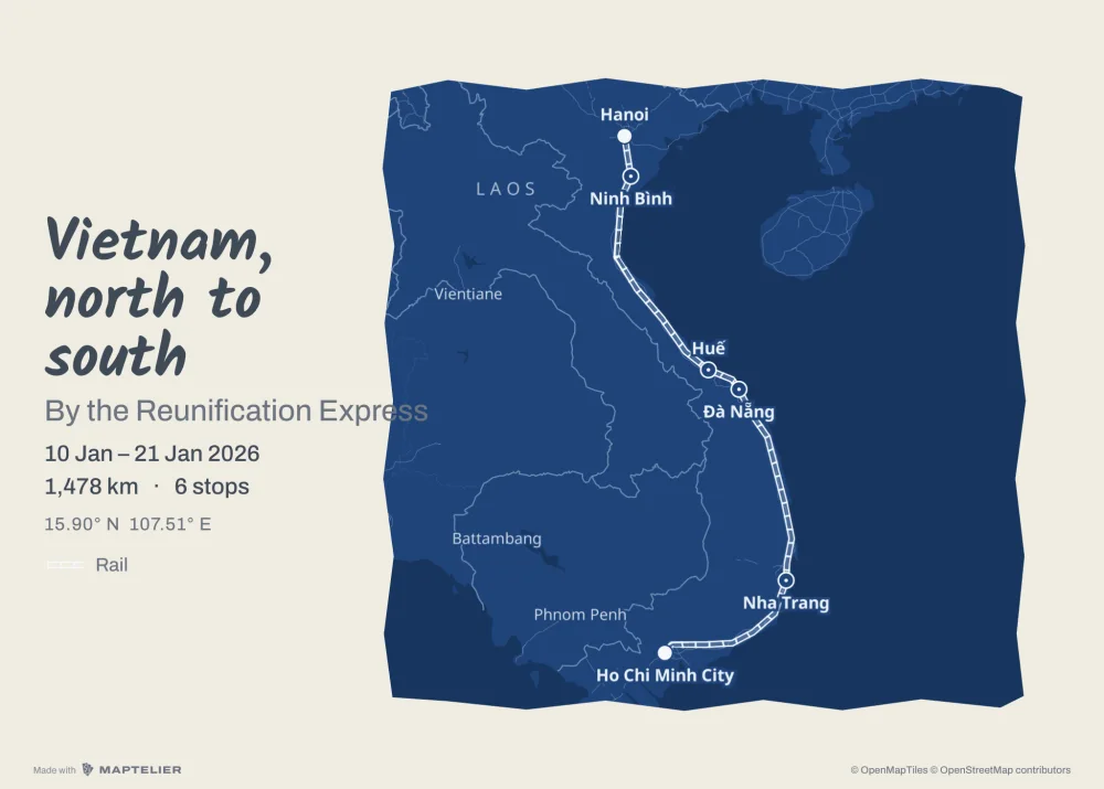 Poster 70 × 50Print · 300 DPI
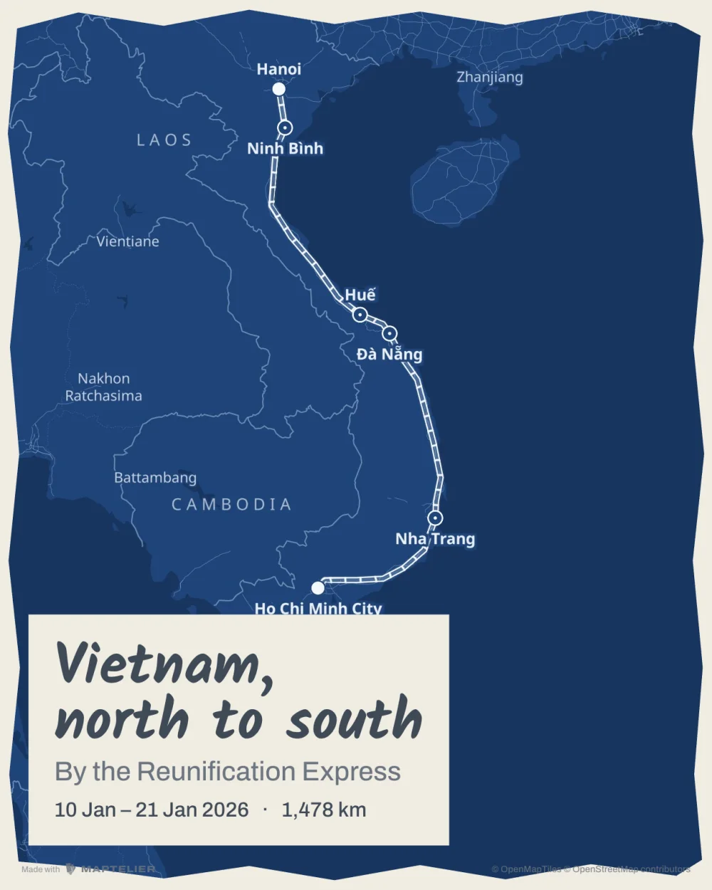 PostSocial · 1080 × 1350
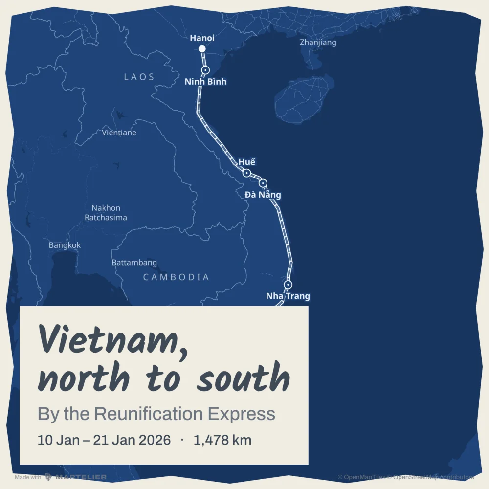 SquareSocial · 1080 × 1080
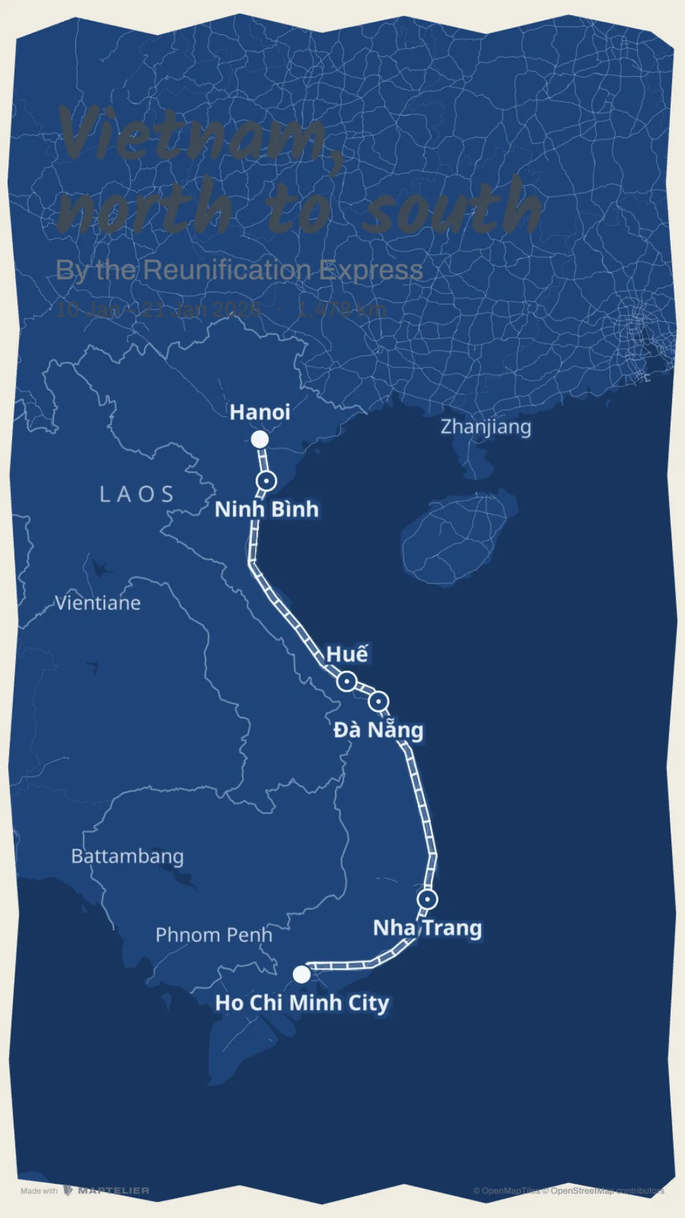 StorySocial · 1080 × 1920