Drop the photos from a trip on the editor. Where and when each was taken comes from the file, and the map is drawn with every photo pinned to its stop.
Free, with no account. The example photos are CC0, from Wikimedia Commons, with invented places and times.
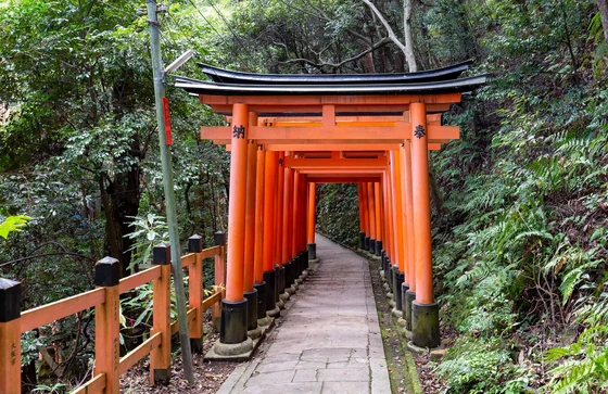
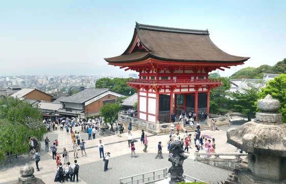
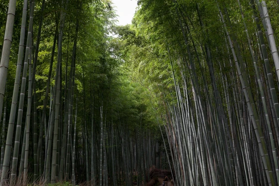
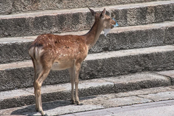
The example camera roll, by day
Tuesday 7 April
08:40
14:20
Wednesday 8 April
08:15
15:10
Thursday 9 April
10:30
11:40
The map they makeOld map · Video · 6 photos, 5 stops
Recorded in the editor as it is today.
How the photos become a map
Drop
JPEG or HEIC, straight from your camera roll. Photos with no location in them are left out, and the editor says how many.
Placed
Photos taken close together become one stop, named after the nearest town or landmark on the map. The legs between stops follow the roads.
Pinned
Each stop shows its photo as a small print on a thread. Drag a print where it reads best, or hide them all.
Your photos stay on your device
ReadThe date, time and location written into each photo by your camera or phone. The photo itself is read in your browser.
KeptOne small copy of one photo per stop, inside the Map. Nothing else from the photos is kept.
SentNever the photos. The map asks for tiles of the area in view, and for routes between your stops.
HiddenHide any stop or leg, such as where you live, and it is left off the map and every export.
The Privacy notice lists every service a Map reaches and how long each record is kept.
Where the map goes
The same Map exports to each of these, laid out again for each shape, and the photos move with their stops. Print sheets go to any print shop, or into a photo book’s editor like a photo.
On the wallPoster A3 · 297 × 420 mm
In a photo bookPoster 70 × 50 · landscape
In a postPost · 1080 × 1350
On a profile gridSquare · 1080 × 1080
In a storyStory · 1080 × 1920
In a ReelReel · 1080 × 1920
What’s free
Every format exports free, with a small Made with Maptelier mark. US$12 unlocks one Map, once, for every format at full size without it. There is no subscription. Pricing has the rest.
Free
Unlocked Map, US$12
Account
None needed. Maps are saved in this browser.
None needed
Stops and routes
Every stop, and every kind of leg
The same
Post, Square, Story
At their exact sizes, with a small Made with Maptelier mark
Without the mark
Print sheets
A3 and 70 × 50, 2,048 pixels on the long side, with the mark
Full 300 dpi, without the mark
Clips
Video and Reel at 1080p, 30 fps
4K at 60 fps
Questions
How do I make a map from my photos?
Open the editor and drop the photos from your trip on it, or choose Import under New Map. The stops, their names and the legs between them are made for you, and you can change any of them. Other ways to make a travel map
Which photos work?
JPEG and HEIC photos that carry a location, as most phone photos do. Photos sent through some messaging apps lose their location on the way, so use the originals from your camera roll.
Are my photos uploaded?
No. They are read in your browser. The Map keeps one small copy of one photo per stop, saved in this browser, or in your account if you sign in.
What about photos from months of travel?
Photos taken over months become a set of places, one for each spot, with no route drawn between them.
Can I print it?
Yes. Every format exports free with a small Made with Maptelier mark, and print sheets at 2,048 pixels. Unlocking the Map for US$12 gives the A3 and 70 × 50 sheets at 300 dpi without the mark. A trip as a poster
Do I need an account?
No. Maps are saved in this browser. To open them on another device, sign in with your email, with no password.
 08:40
 14:20
 08:15
 15:10
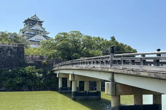 10:30
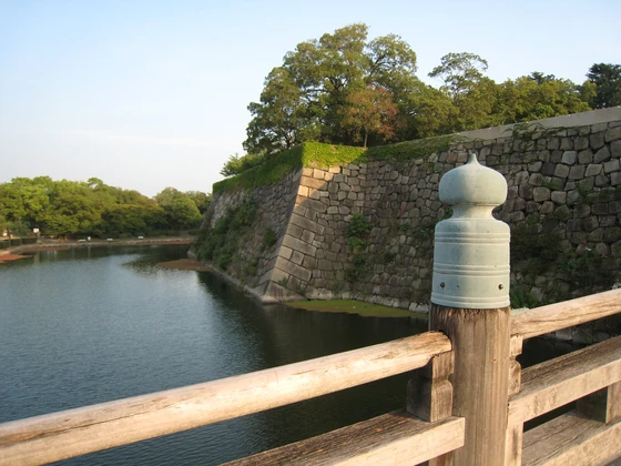 11:40
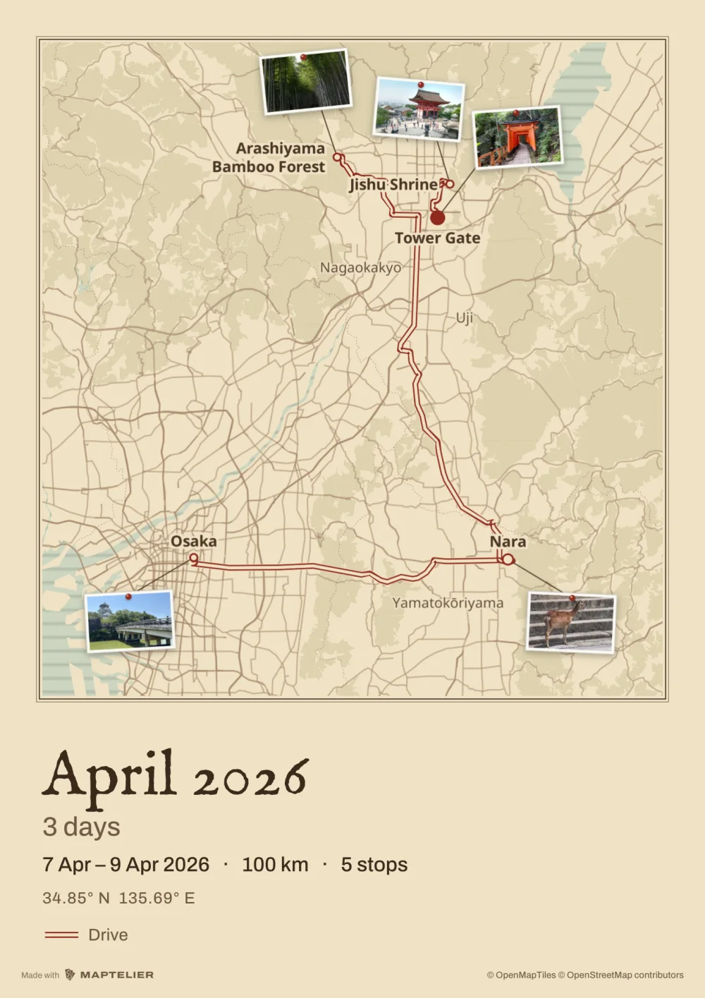 On the wallPoster A3 · 297 × 420 mm
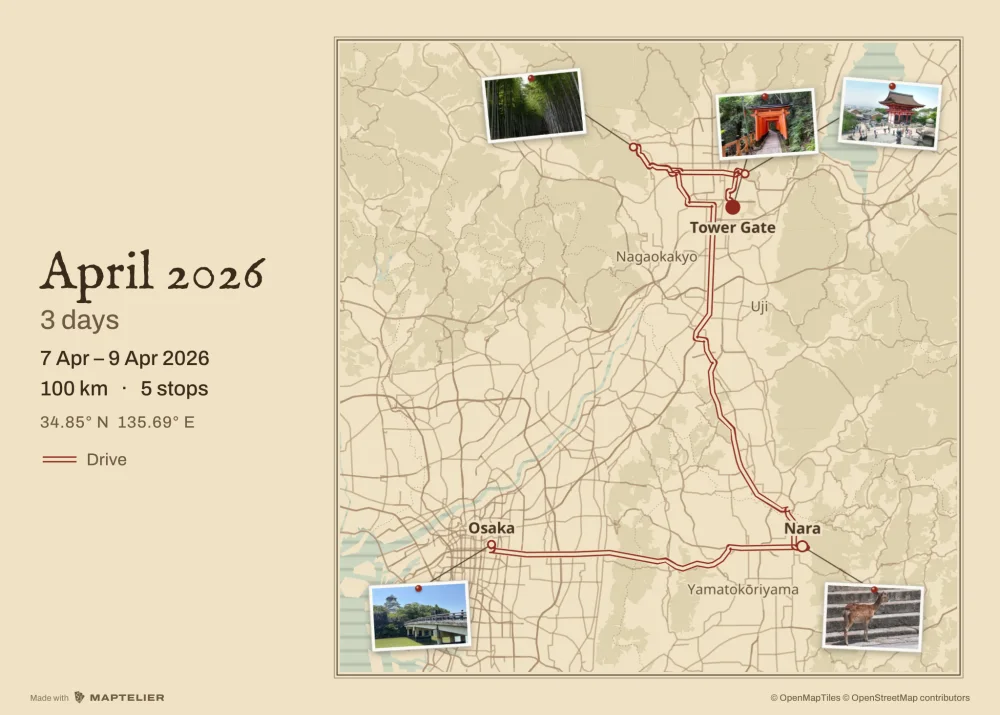 In a photo bookPoster 70 × 50 · landscape
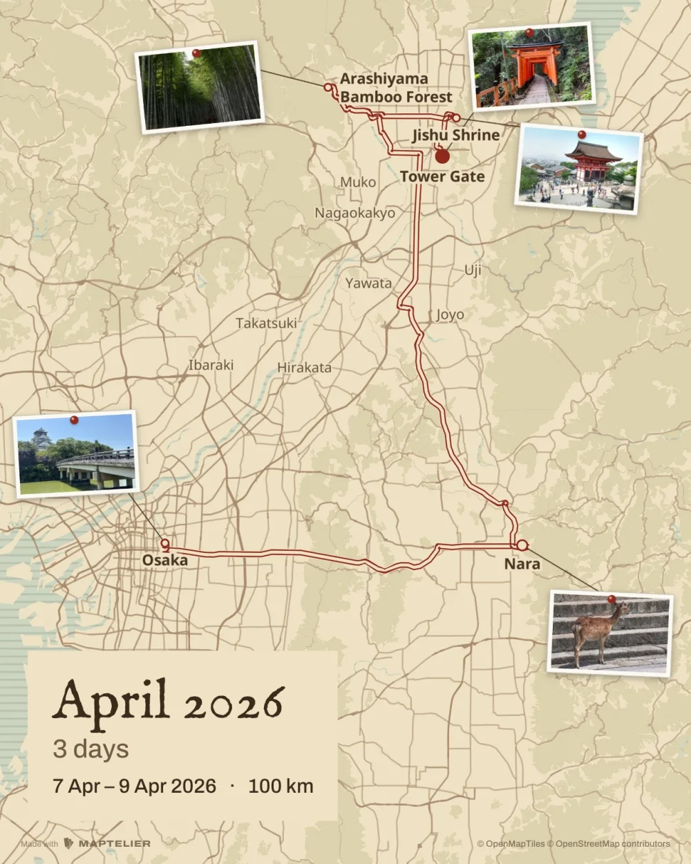 In a postPost · 1080 × 1350
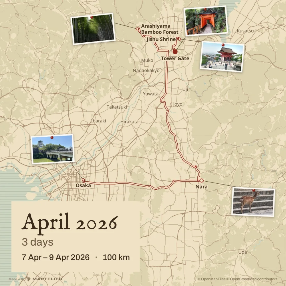 On a profile gridSquare · 1080 × 1080
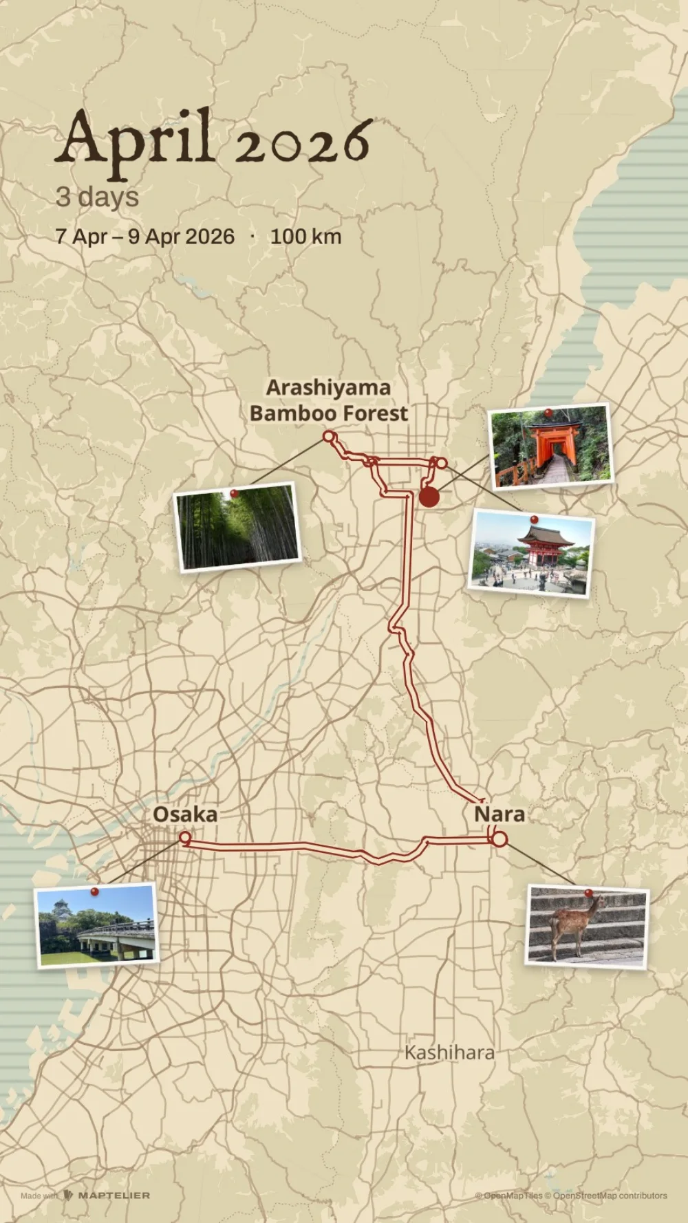 In a storyStory · 1080 × 1920