Free, with no account. The example trips are invented, through real places.
Nautical coursePoster A3 · 297 × 420 mm
Star chartPoster A3 · 297 × 420 mm
CyanotypePoster A3 · 297 × 420 mm
Singapore to Chiang Rai · Old map · Reel
Trains, roads, ferries and flights on one map
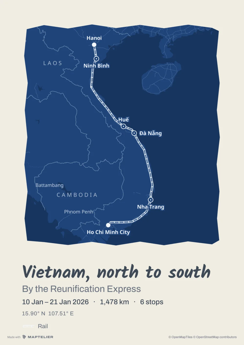
Each leg keeps how you travelled it, and the style draws each kind its own way. Here the camera rides along the Singapore to Chiang Rai example by train, minivan, ferry and plane, then four days by bike.
Drive, cycle, walk
Follow the roads and paths between your stops. Drag a leg to send it another way.
Rail, boat
A straight line between two stops, in the style’s own mark for a train or a ferry. Redraw it by hand to follow the coast or the tracks.
Flight
An arc between the two places, over land and sea.
GPX track
Your recorded track as it was, with the stops found along it.
Where the map goes
The same Map exports to each of these, laid out again for each shape so nothing is cropped. Print sheets go to any print shop, or into a photo book’s editor like a photo.
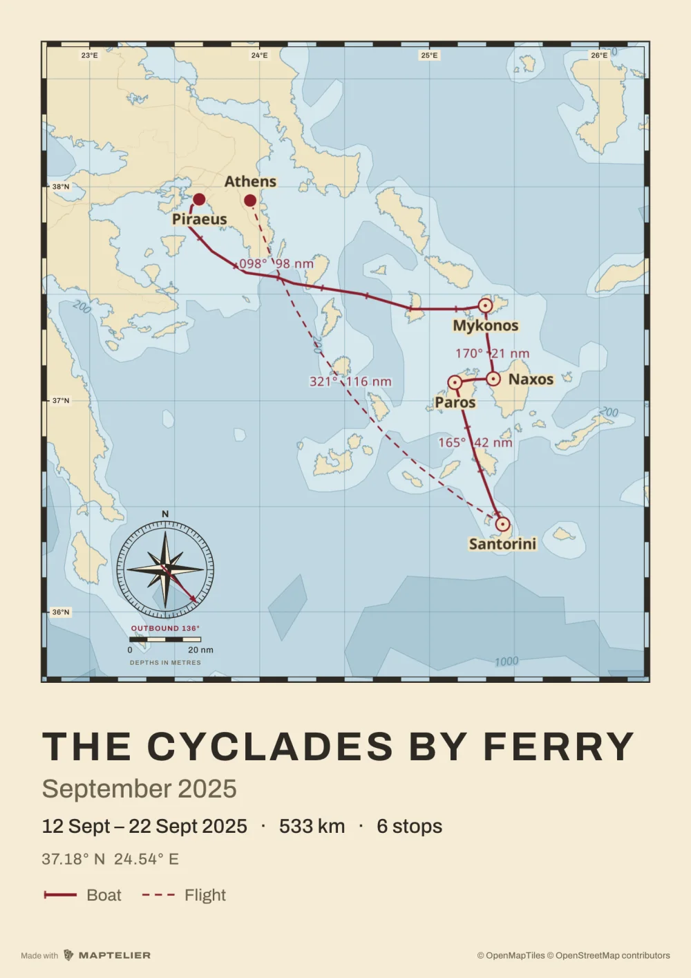
On the wallPoster A3 · 297 × 420 mm
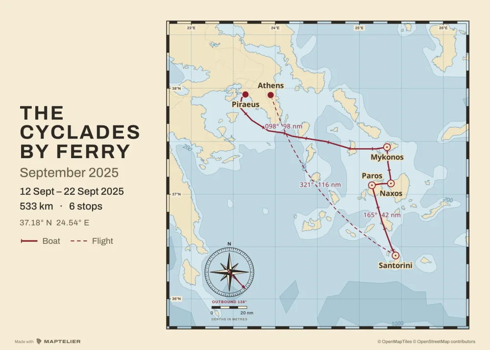
In a photo bookPoster 70 × 50 · landscape
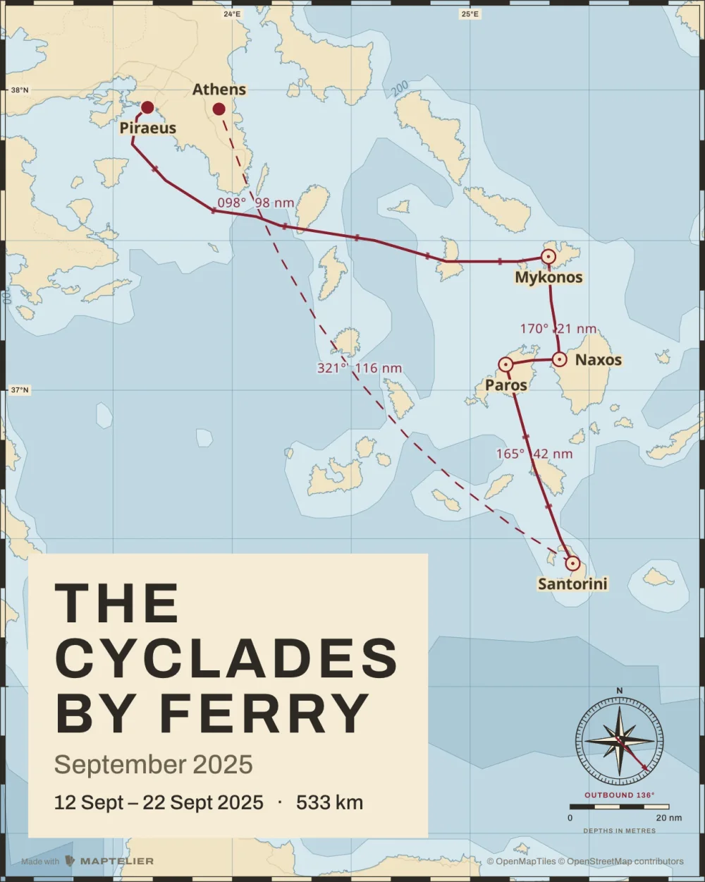
In a postPost · 1080 × 1350
On a profile gridSquare · 1080 × 1080
In a storyStory · 1080 × 1920
In a ReelReel · 1080 × 1920
On the wallPoster A3 · 297 × 420 mm
In a photo bookPoster 70 × 50 · landscape
In a postPost · 1080 × 1350
On a profile gridSquare · 1080 × 1080
In a storyStory · 1080 × 1920
In a ReelReel · 1080 × 1920
On the wallPoster A3 · 297 × 420 mm
In a photo bookPoster 70 × 50 · landscape
In a postPost · 1080 × 1350
On a profile gridSquare · 1080 × 1080
In a storyStory · 1080 × 1920
In a ReelReel · 1080 × 1920
What’s free
Every format exports free, with a small Made with Maptelier mark. US$12 unlocks one Map, once, for every format at full size without it. There is no subscription. Pricing has the rest.
Free
Unlocked Map, US$12
Account
None needed. Maps are saved in this browser.
None needed
Stops and routes
Every stop, and every kind of leg
The same
Post, Square, Story
At their exact sizes, with a small Made with Maptelier mark
Without the mark
Print sheets
A3 and 70 × 50, 2,048 pixels on the long side, with the mark
Full 300 dpi, without the mark
Clips
Video and Reel at 1080p, 30 fps
4K at 60 fps
Questions
How do I make a map of my trip?
Drop the photos from the trip on the editor, drop GPX files from a tracker or a hiking app, or search for each place you went. Photos and files are read in your browser and never uploaded. The stops are joined in order and the map is drawn in a Maptelier style, ready to export. Making a map from photos
Can I make a travel map for free?
Yes, with no account. Every format exports free, with a small Made with Maptelier mark. Unlocking a Map for US$12 removes the mark and gives full-size print sheets and 4K clips.
Can I draw my own route?
Yes. Legs by car, bike or on foot follow the roads, and you can drag one to take another way. Train and ferry lines can be drawn by hand, and flights are drawn as arcs.
Can ferries, trains and flights go on the same map?
Yes. Each leg has its own kind, and the legend on the map names them, such as Boat and Flight on the Cyclades example.
Can I put the map in a photo book?
Yes. Export the Poster 70 × 50 or the Poster A3 sheet and place it in your photo book’s editor like a photo. Free sheets are 2,048 pixels on the long side, enough for a small page. An unlocked Map gives the full 300 dpi. A trip as a poster
Do I need an account?
No. Maps are saved in this browser. To open them on another device, sign in with your email, with no password.

 In a photo bookPoster 70 × 50 · landscape
 In a postPost · 1080 × 1350
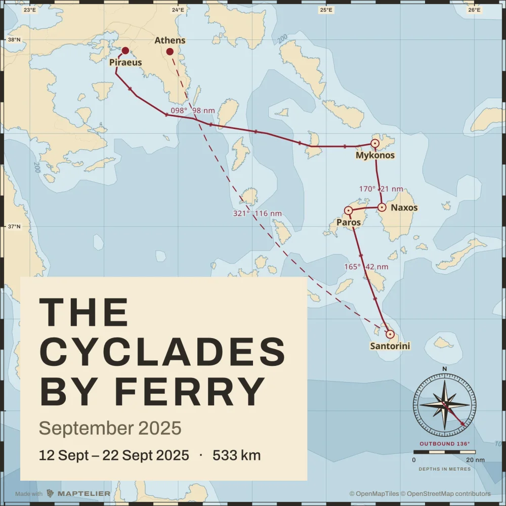 On a profile gridSquare · 1080 × 1080
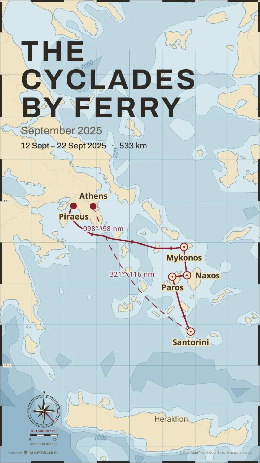 In a storyStory · 1080 × 1920
 In a photo bookPoster 70 × 50 · landscape
 In a postPost · 1080 × 1350
 On a profile gridSquare · 1080 × 1080
 In a storyStory · 1080 × 1920
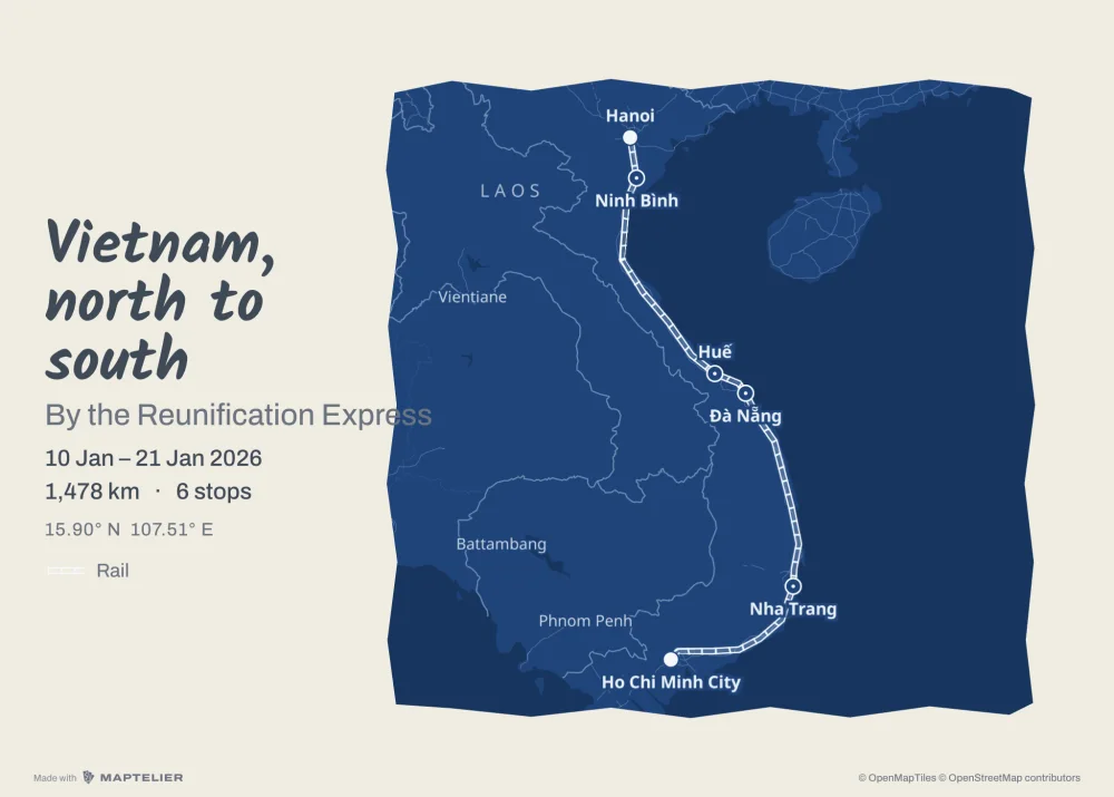 In a photo bookPoster 70 × 50 · landscape
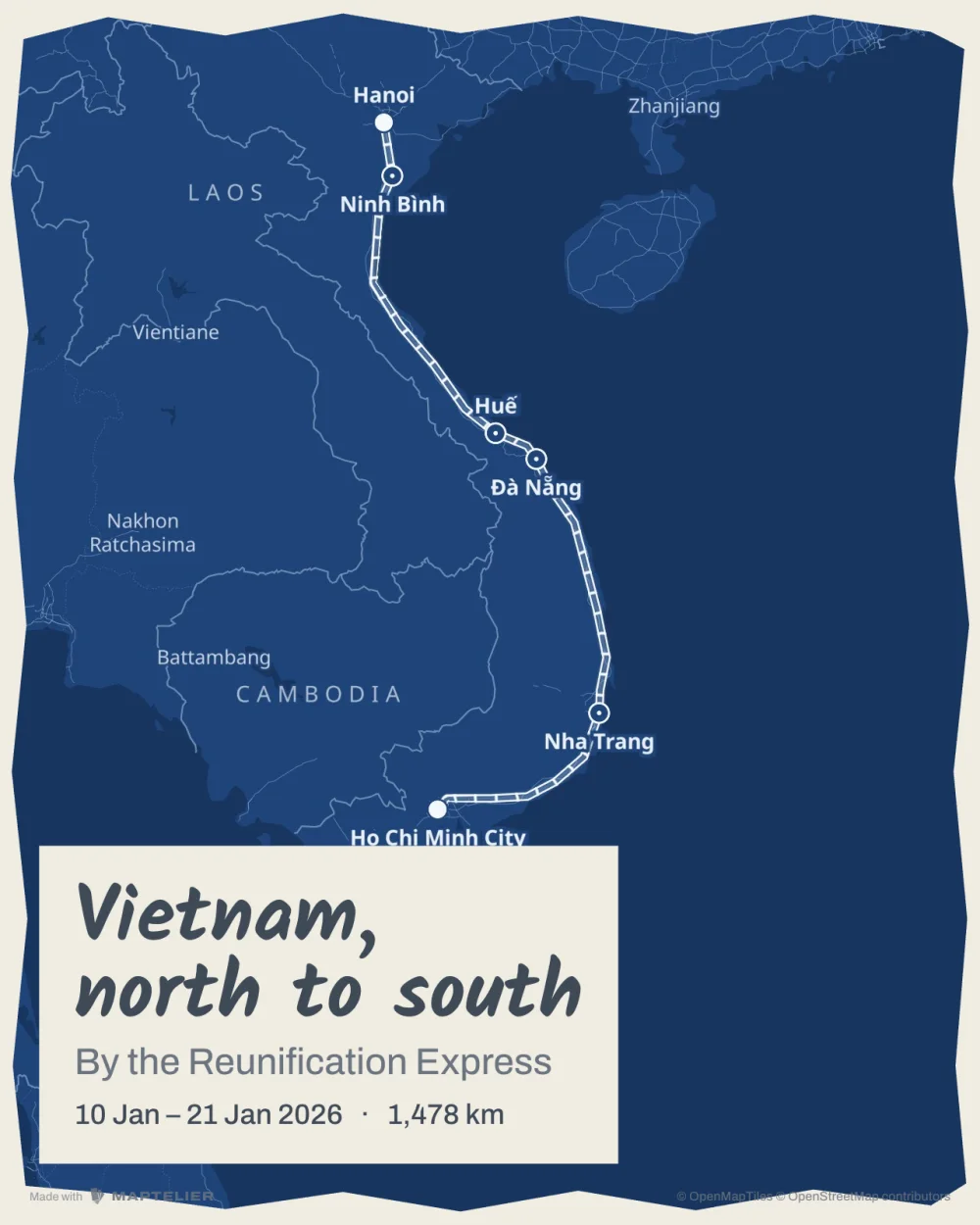 In a postPost · 1080 × 1350
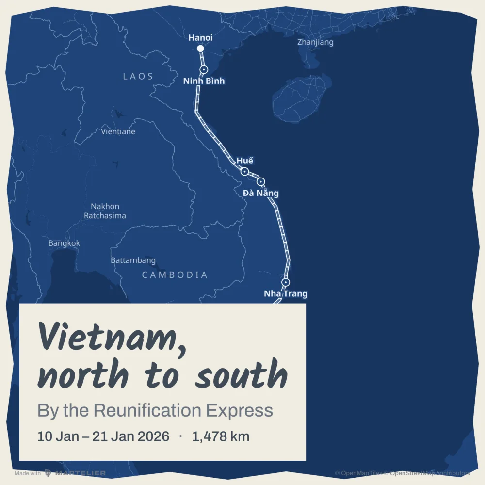 On a profile gridSquare · 1080 × 1080
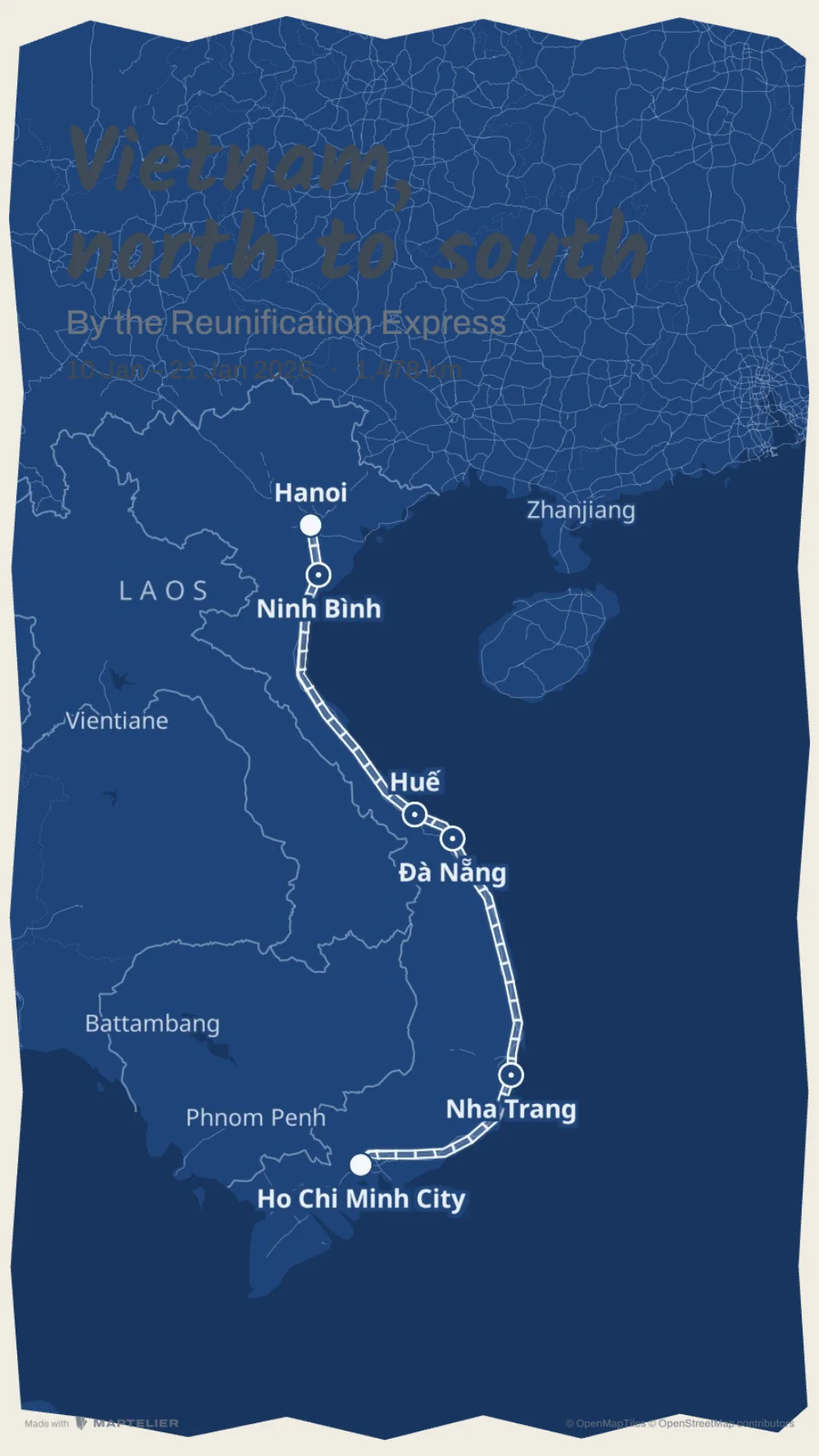 In a storyStory · 1080 × 1920